Tagged: John Muir Wilderness
Backpacking McGee Pass to the Lee Lake and Cotton Lakes region
We ate wild onions and hiked short bits of cross country. We swatted mosquitoes and swam under cloudy skies. We talked and relaxed and explored.
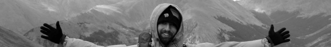
Two years ago we backpacked Lewis Lake in Emigrant Wilderness. This weekend my uncle and I drove out to McGee Creek Trailhead on the east side for another summer trip. I’d been here before, with a broken shoulder, on a trip with Charlie in 2009. He carried most of my stuff to Iva Bell and Devil’s Postpile.
It was a quick turnaround from last week. Five days at work and then a Friday afternoon drive back to Inyo National Forest. Bill and I got started early and made it up and over McGee Pass our first day. I utterly crashed, sleep deprived, once we made camp. I sleep so well outside. I can nap before dinner then go back to sleep once the first star comes out. It’s glorious.

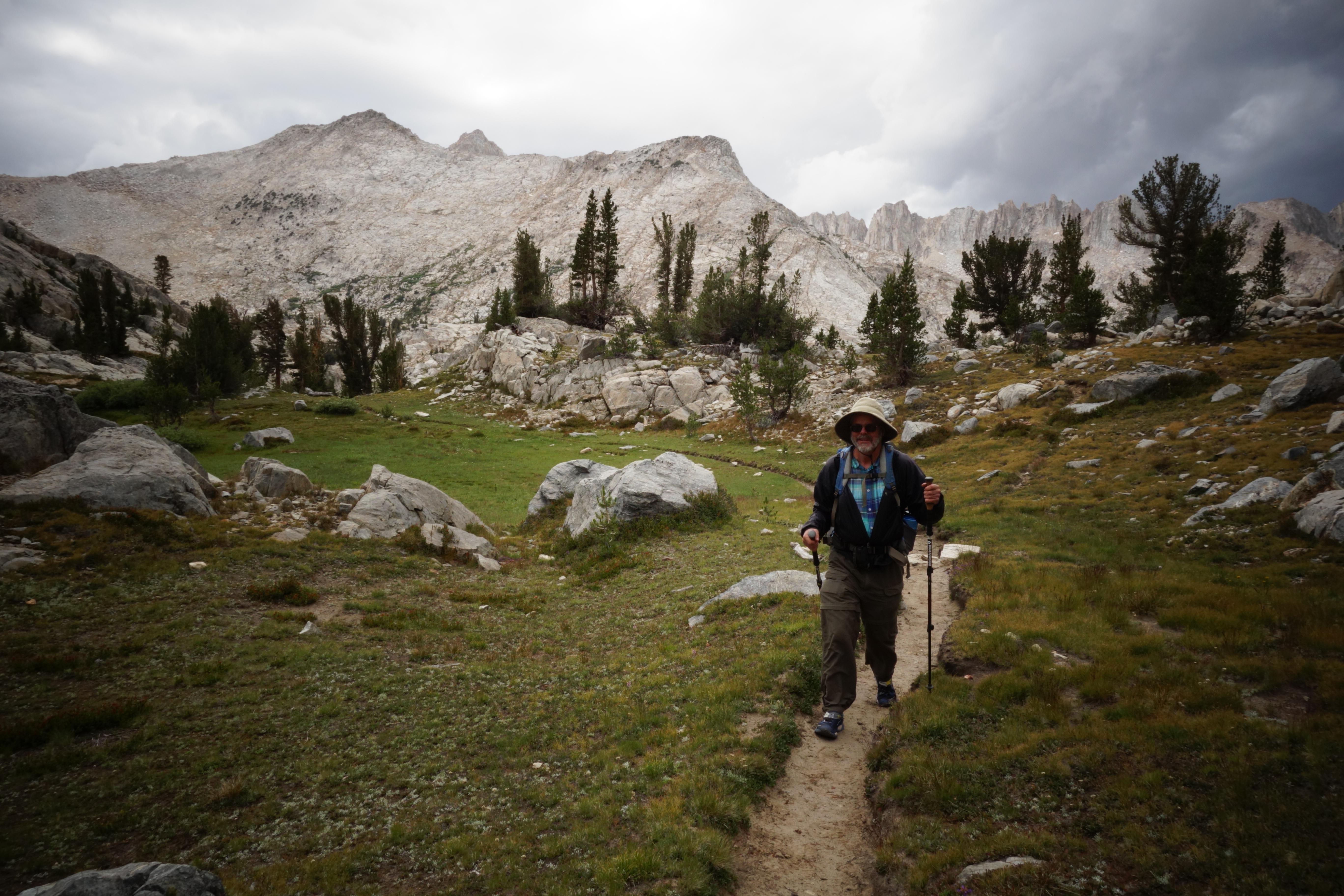
I love this view. It’s pretty much the reason that I wanted to do McGee Pass again. Traveling back to the car it started to rain while we were on these switchbacks. The rocks were even more amazing when wet.
Sunday, we hiked from Lee to Cecil Lake then back to pack up camp. I found some obsidian tools.
Dropping down into the Fish Creek drainage, we walked another one of those scarcely traveled Sierra trails. From Tully Lake we explored for a short while up in the Cotton Lakes area. We took a dip in the biggest of the lakes, then packed up with clouds overhead to boot it back up and over the pass.
It was my vote to position ourselves closer to the car so that I’d get home a bit earlier on Monday. Crossing back over McGee Pass it started to rain. Low clouds were gathering further down the Silver Divide. Rain gear on, a nip of bourbon, we walked slowly, savoring it, down to Big McGee Lake. We pitched tents and I fished.

One of the dozen or so lakelets in the Cotton Lakes area.
On the drive home I picked up four hitchhikers. Three were PCTers and the fourth was a local. Two of them rode with me from Lee Vinning to South Lake Tahoe. Darn good people.
Darn good trip. Darn good time with Uncle Bill.
Uncle Bill likes to think that he’s slow but he’s really not.
Backpacking Italy Pass, Bear Lakes, Seven Gables Lakes, Three Island Lake and Hillgard Branch – John Muir Wilderness
I’ve been dreaming of this trip for a decade or more. And planning it for two or three years. It was as good as I hoped it’d be.
We spent six days in the backcountry, walked 42 miles, did 10,000 feet of gain and generally slept above 11,000 feet. We saw forty lakes, few people (except on the PCT), walked cross country and scarcely-there trails, swam, took photos and fished.
The forecast when we were heading out was bad – 60% chance of thunderstorms. We lucked out for the first four days, then got slammed as we were exiting back over Italy Pass. Around 2pm, I paused the group for a snack and to assess the dark slate clouds. My vote was to wait and see what developed. After a while, we walked on. We ended up sheltering amongst boulders, in lightning position, three times as the sky flashed and hail rained down. The weather had turned and mostly stayed wet all the way to the car the next day. For the last hour, I took my rain jacket off and walked in the storm like I was in the tropics. What a way to feel connected.

Charlie looking down at Bear Lake and Ursa Lake. Seven Gables and Gemini are in the background.
The other weather worth mentioning was that I saw the start of a tornado. Directly above our heads at Seven Gables Lakes a thunderhead had a spot that started swirling. It was a tight little whirl. Beautiful and stunning. But oh, thank goodness that it dissipated and never dropped a twister. Don’t know what I would have done if it had.
It was darn nice to have plenty of time in the high alpine basins. Without mileage goals, we explored the area more fully than I otherwise would have. Depending on how I count it, we walked in nine distinct areas.

Dani caught a fish at one of our favorite lakes with tenkara gear.
We camped at lakes most nights, but there was one on our route that was truly special and on the list to return to. It’s swimming heaven and I want to carry in floaty toys next trip.
Other things of note:
- My food was good because I used my dehydrator a lot. Most meals had 10+ ingredients.
- The Sierra High Route passes through the area we played in. I haven’t hiked that section of the SHR yet (I’ve been most places on it and completed ~60% of the route) but again, I’ve confirmed for myself that it’s a path that is ridiculously hard work. I don’t think most people realize how much effort the SHR is.
- All three buddies take really fantastic photos. I bought a new point-and-shoot camera before this trip and my pictures are pretty nice too. I tend to take more people and documentation pictures and fewer landscapes.
- My previous trip in the area (to upper French canyon and Royce Lakes in 2009) was done solo, with a broken shoulder and only a fanny pack to carry overnight gear. That was wacky.
- Tenkara fishing was fun, but only moderately successful. I caught one small fish and hooked a few others.
- The July storm dropped a surprising amount of hail and snow. It even closed Tioga Pass for a bit.
- Charlie hiked in Vibram Five Finger shoes again. Like last trip. He’s crazy.

Snapping a photo with fresh hail on the ground. I was in lightning position again about ten minutes after this picture was taken.
